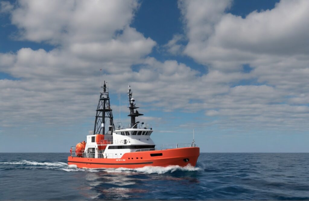
While our core expertise lies in unveiling the secrets hidden beneath the ocean’s surface through geophysical surveys, Xpress Geomatics also leverages the power of LiDAR to provide comprehensive data acquisition and analysis solutions for your offshore logistics needs.
Precision Ocean Mapping for Informed Decisions:
Imagine having a high-resolution 3D map of the seabed, revealing not just the topography but also submerged infrastructure, potential hazards, and critical environmental features. Xpress Geomatics' LiDAR technology makes this a reality, empowering you with the data you need to make informed decisions for your offshore logistics operations.
Our LiDAR Services for Sea Logistics:
Hydrographic Surveys
Accurately map bathymetry (water depth), identify submerged hazards like shipwrecks or pipelines, and assess the suitability of potential harbor locations or cable routes.
Port and Terminal Infrastructure Mapping
Create detailed 3D models of existing port facilities, including quays, breakwaters, and dredged channels, facilitating efficient expansion and maintenance planning.
Offshore Wind Farm Development
Survey potential wind farm sites, assessing seabed conditions for foundation placement and cable laying, and monitoring the impact of construction on the surrounding environment.
Pipeline and Cable Route Optimization
Identify the most efficient and safest routes for underwater pipelines and cables, minimizing environmental impact and construction costs.
Dredging and Spoil Management
Optimize dredging operations by accurately measuring existing sediment depths and volumes, and identifying suitable spoil disposal sites.
Benefits of Choosing Xpress Geomatics for Your Offshore LiDAR Needs
Unmatched Accuracy and Precision
Our state-of-the-art LiDAR systems and experienced data acquisition personnel ensure the highest quality data for reliable decision-making.
Seamless Integration with Existing Data
We can integrate your LiDAR data with other oceanographic and geographic datasets to create a holistic picture of your area of interest.
Customized Solutions
We tailor our LiDAR services to your specific project requirements, ensuring you receive the data and insights you need.
Efficient and Cost-Effective
LiDAR technology can significantly reduce the time and resources required for traditional surveying methods, saving you money and valuable time.
Environmentally Friendly
LiDAR is a non-invasive technology that minimizes disturbance to the marine environment.
Beyond Data, Delivering Insights
Our team of skilled data analysts will process and interpret your LiDAR data to extract valuable insights, providing you with:
- Detailed 3D bathymetric maps and models
- Hazard and risk assessments
- Sediment characterization reports
- Volume and capacity calculations
- Environmental impact assessments